GeistHaus
log in · sign up

PMTiles Concepts ​

docs.protomaps.com

Technical Documentation for Protomaps

13 pages link to this URL
What is a basemap, anyway?

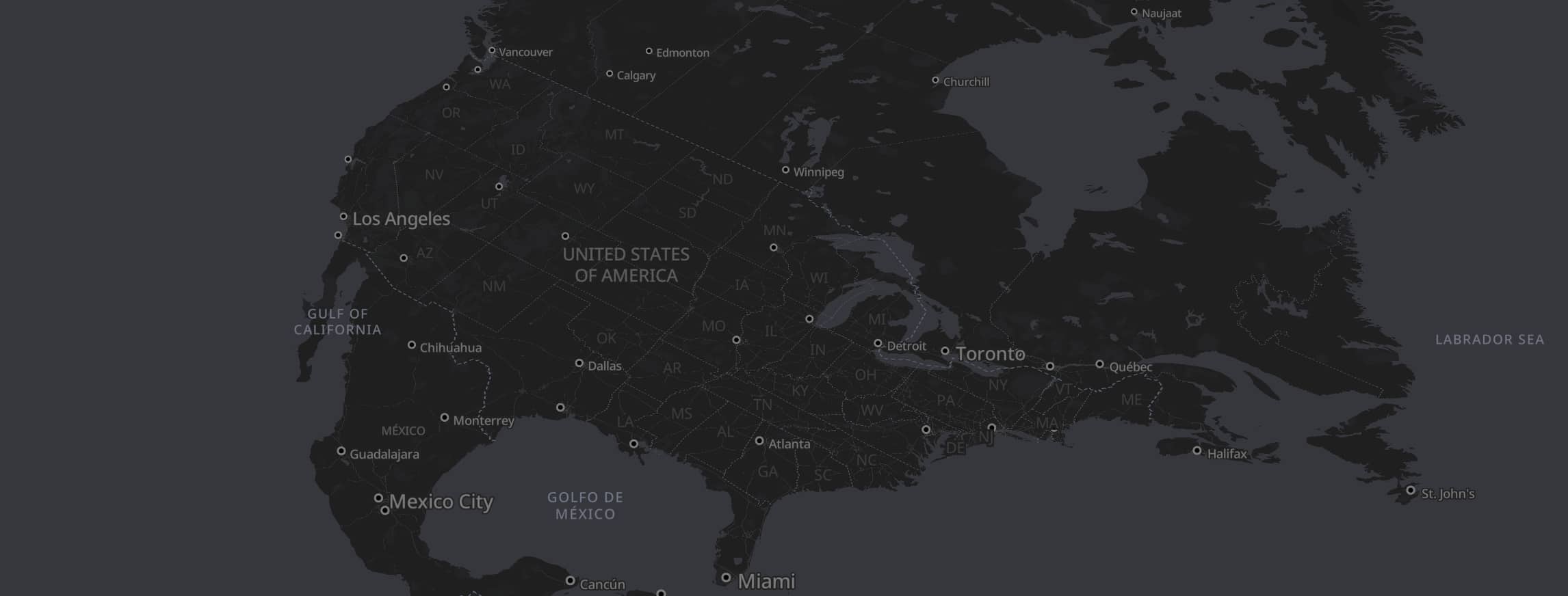
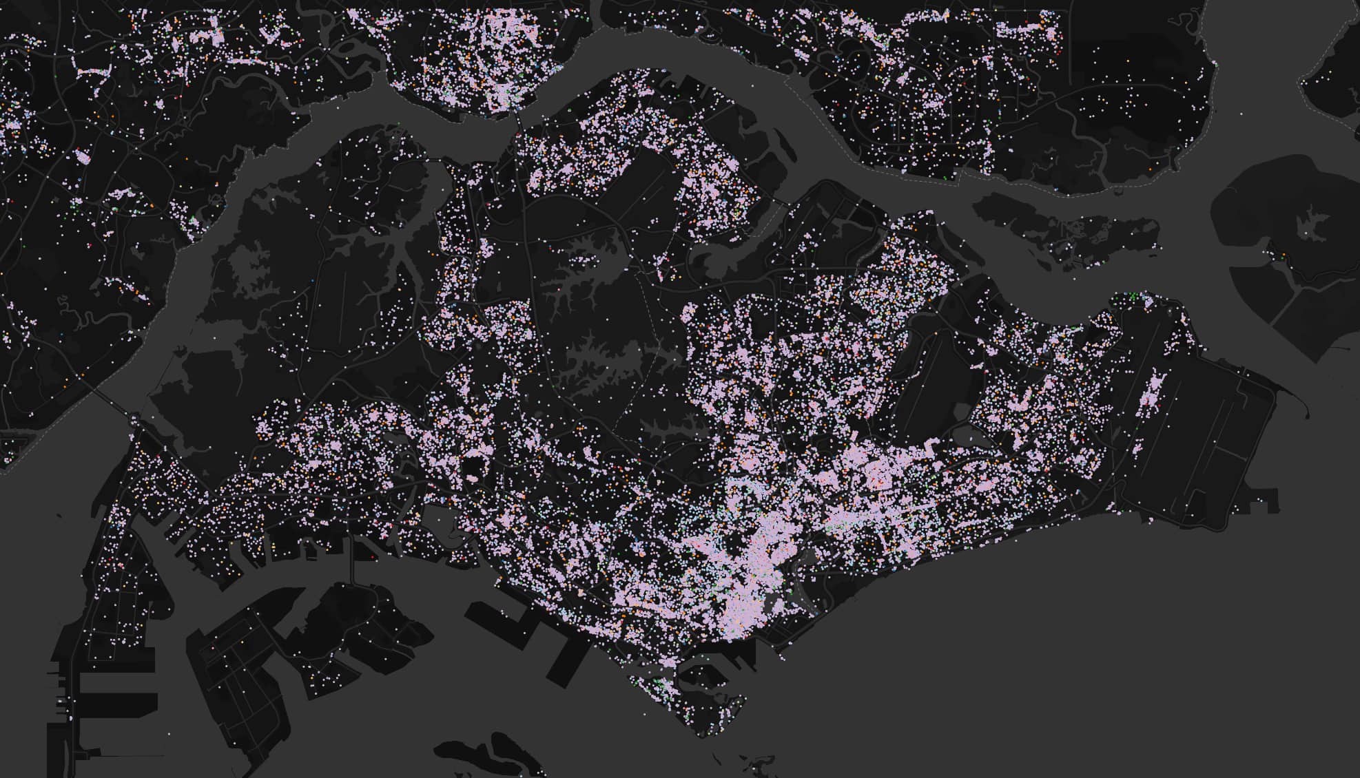
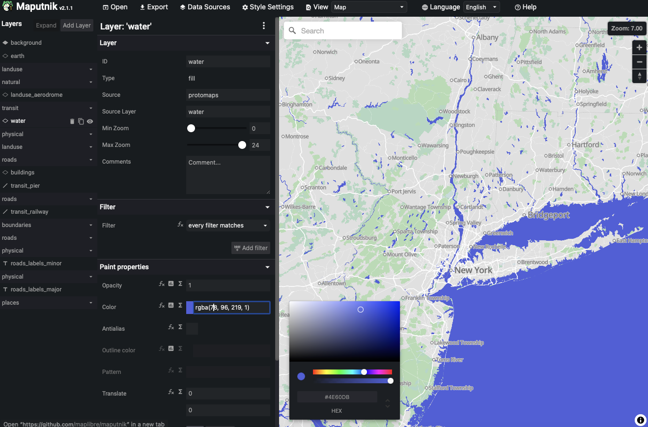
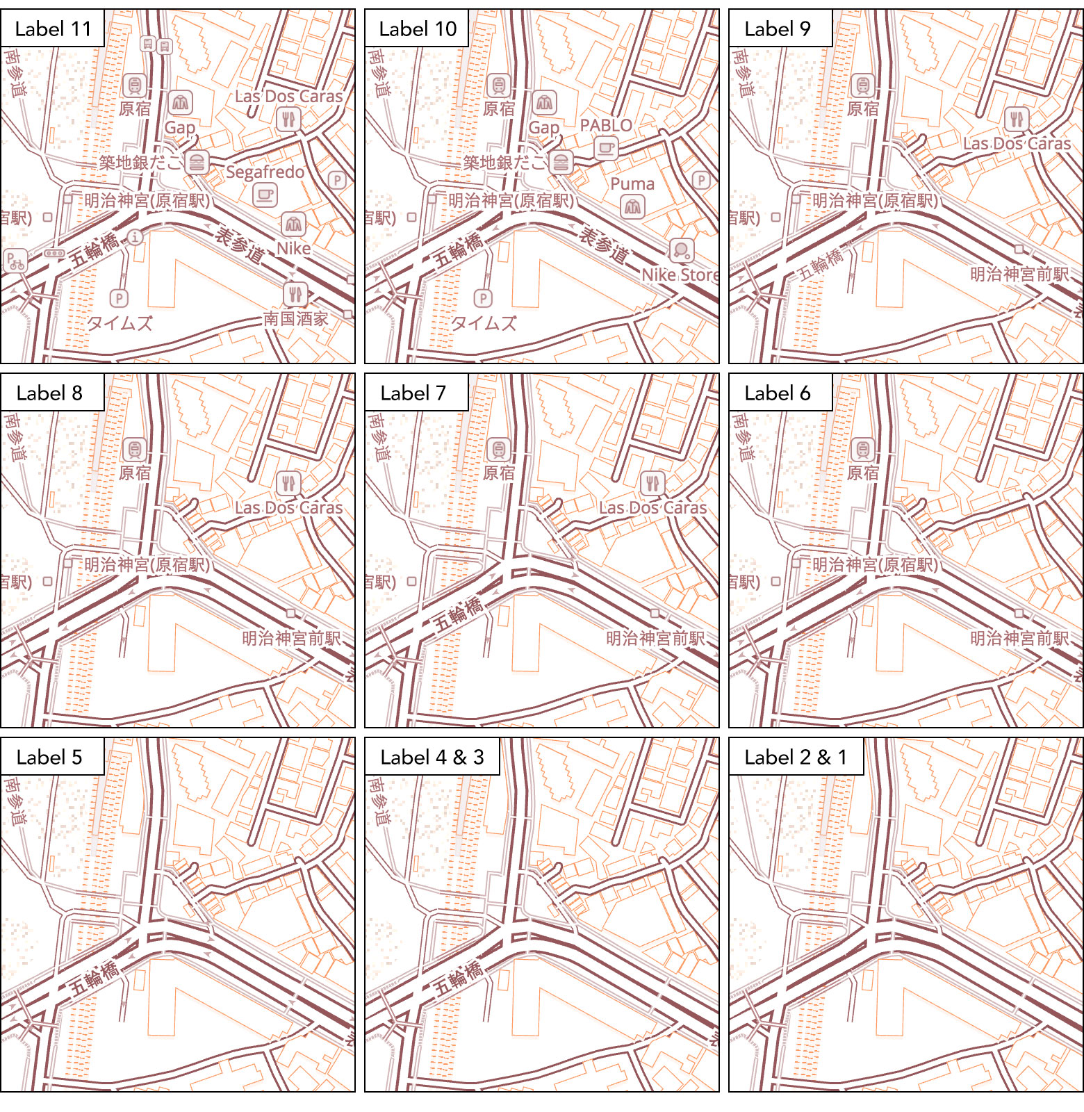
The Protomaps project consists of: The open PMTiles format; The tools and ecosystem for creating and publishing PMTiles; A basemap PMTiles created from OpenStreetMap data and other open sources. Mapping apps need background context to help humans understand where things are. The base layer has water bodies, buildings and roads. You could use Google Maps and Apple maps for those, but Protomaps is open source! Two key aspects of a basemap are labeling and generalization.

0 inbound links article en posts
Transitioning Protomaps from Open Core to Open Source

The Protomaps Project has gained several new repositories in the past year, including the serverless implementations for AWS and Cloudflare, and a new basemaps repository, which generates a full planet PMTiles archive from OpenStreetMap. A free daily build of the planet output is available on maps.protomaps.com/builds. These additional components complete the transition from an open core project into an open source one, distributed under a standard BSD License. What is Open Core?

1 inbound link article en posts
You Might Not Want PMTiles

PMTiles is the open archive format that underlies the Protomaps ecosystem. It’s a single file that enables deploying an entire world map as a static artifact, making mapping accessible to the widest audience of front-end developers and neogeographers. However, PMTiles isn’t the right solution for all mapping applications. PMTiles is made for web-based viewing of large, mostly static datasets., for example: base maps built from OpenStreetMap data. An interactive exploration of building ages in Seoul by Hanbyul Jo.

0 inbound links article en posts
PMTiles on More Platforms

The PMTiles format is a cloud-native way to visualize map data in the browser, directly from cloud storage. Browser decoding via the TypeScript implementation is ideal for most use cases, and accelerated deployment options run on AWS and Cloudflare. Here’s some highlights of new platforms and integrations in 2024: Style Editor Maputnik is a visual editor for MapLibre Style JSON that’s been migrated to the MapLibre GitHub umbrella organization. It’s the most full-featured way to tweak colors and label appearance.

0 inbound links article en posts
Mapterhorn - Terrain for Web Mapping

The Protomaps project is the PMTiles format, its tooling, and a 120GB basemap vector cartographic tileset created from OpenStreetMap and other open data sources. PMTiles is not limited to storing vector data - it’s also used for raster data, like scans of historical paper maps. Mapping apps often don’t just need to show vectors of buildings, boundaries and places. Some apps need elevation data, since interesting places on Earth aren’t flat!

0 inbound links article en posts
GeoParquet Backup and Restore

For the past two years, have been working with a fiber-to-the-home (FTTH) provider supporting various data architecture and geospatial activities. This is a classic infrastructure business that cyc…

0 inbound links article en gis